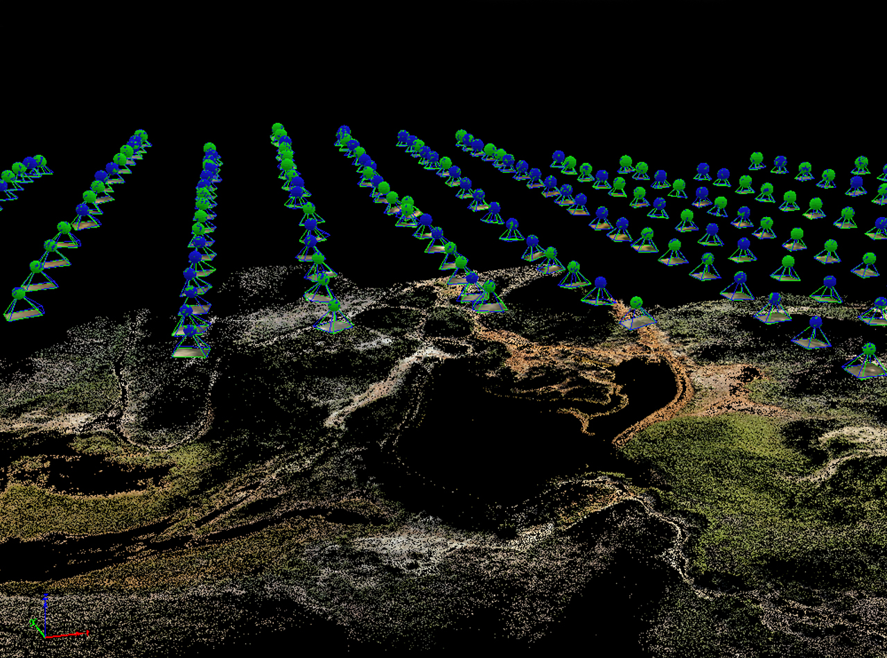
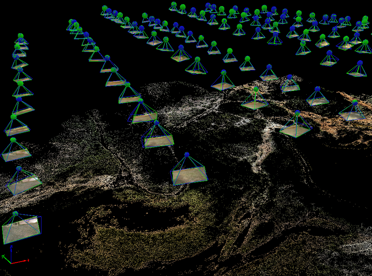
UAV Photogrammetry
GPS enabled UAVs for aerial surveying is very cost effective in comparison to hiring an aircraft with photogrammetry equipment. Because UAVs are relatively inexpensive, will have their own fleet, allowing for rapid surveys over large land areas where required.
With GPS-equipped UAVs, digital cameras and powerful workstations, surveys with an accuracy down to 1 to 2 cm is very possible.
Our Services:
- DEM / DTM / DSM (surface models)
- Orthorectification
- 3D Building Models
- Contour Maps
- 3D vegetation modelling
Our Focus
- Mapping and Cartography
- Urban Planning
- Forestry Management
- Oil and Gas Exploration
- Quarries and Minerals
- Transport Planning
ESRT undertakes simple to complex, small scale to large scale works at very effective rates with quick delivery times. Our team consists of qualified engineers. We attribute the success of UAV group to our members, consisting of Project Managers, Group Leaders, Production team members & Quality Assurance members. We are 100% confident of proposing workable solution to any new client.