Photogrammetry Training
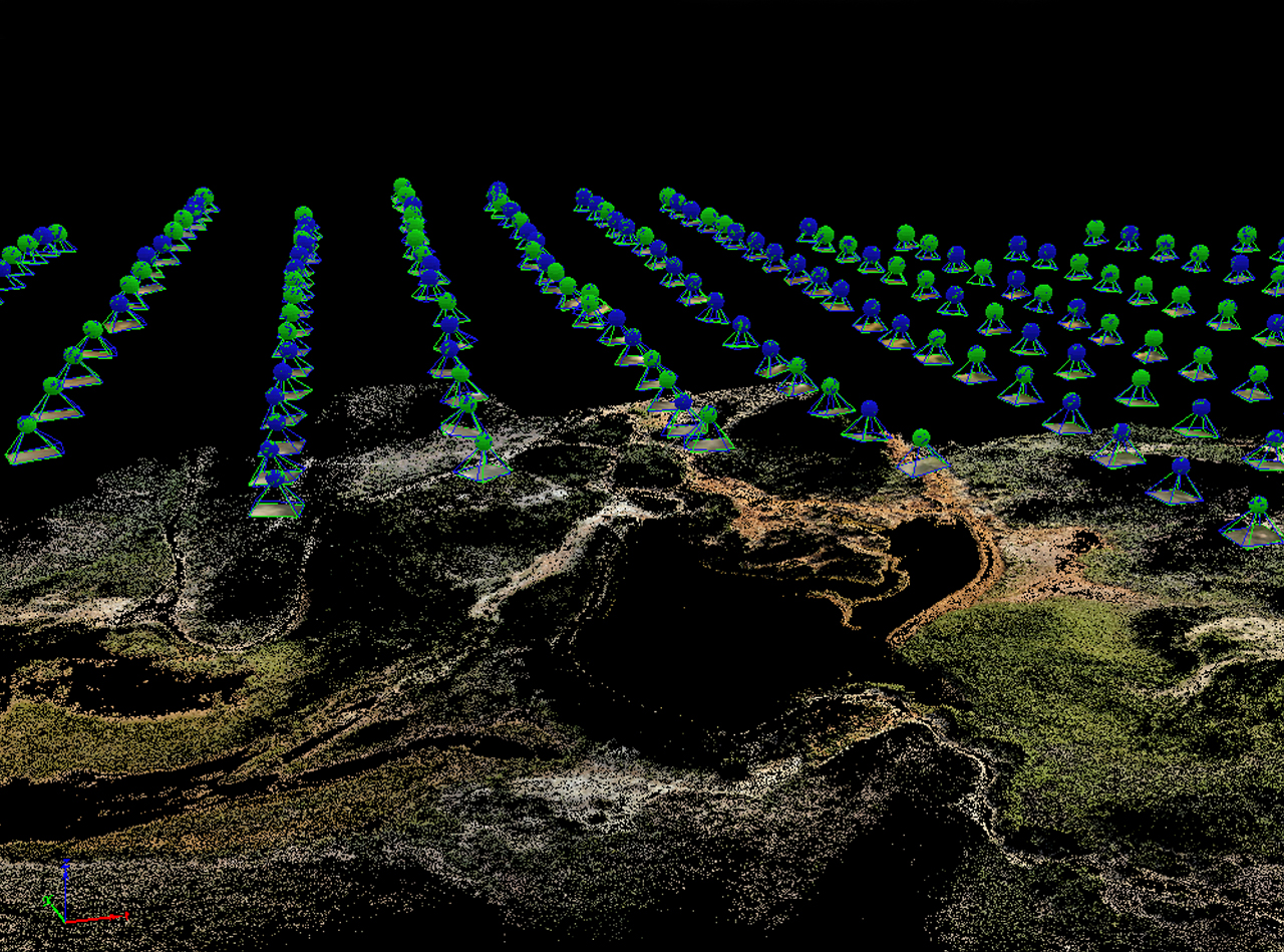
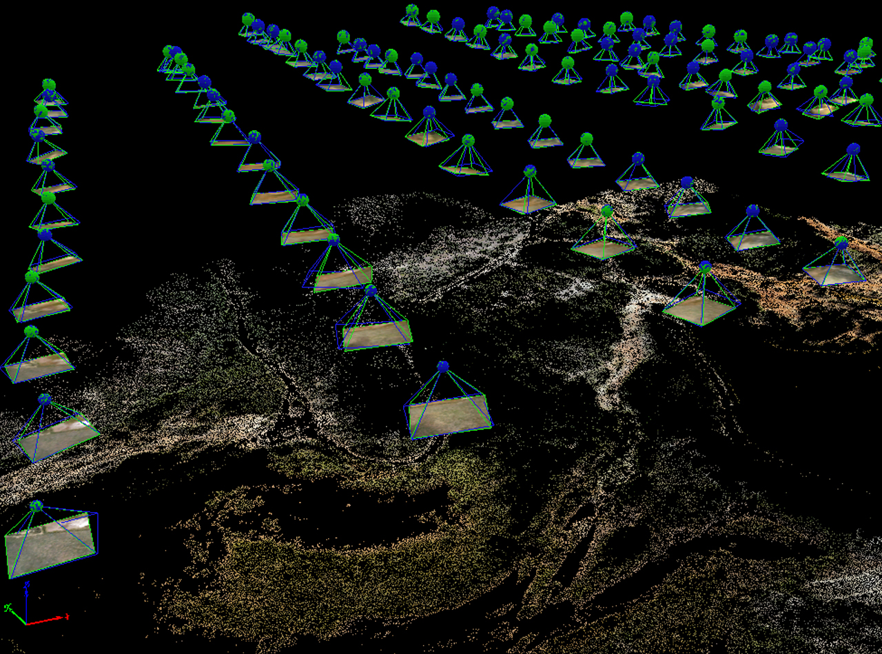
Photogrammetry is defined as the science of obtaining reliable measurements, by the use of photographs, in order to determine characteristics such as size, shape and position of photographed objects. Jensen (2007) describes it more succinctly as “the art and science of using aerial photography to make accurate measurements of ground features.” Measurements such as scale, object length and height, and area can all be extracted from a single photograph. When analysing overlapping aerial photographs (stereo) the precise plan metric location of a feature (x, y) and precise feature height (z) can be found. Photogrammetric analysis procedures can range from: Obtaining approximate distances, areas, and elevations using hardcopy photographic products with unsophisticated equipment.
The remotely received information can be grouped into 4 categories:
- Geometric information which involves the spatial position and shape of the objects.
- Physicalinformation which refers to the properties of electromagnetic radiation.
- Sematic information is related to the meaning of an image. It is usually obtained by interpreting the recorded data.
- Temporal information is related to the change of an object in time, usually obtained by comparing several images which were recorded at different times.
Eligible
- Photographers who wish to move from 2D to 3D content development
- Conservation and preservation professionals dealing with any type of physical material
- Archaeologists, anthropologists, historical preservationists, classicists, epigraphers, and natural scientists
- Anyone interested in 3D imaging technology and its practical applications
- Virtual reality animators and modellers who want to capture real-world subjects
About the Software
Photogrammetric software is a fast-moving area of development with active ongoingresearch, open source projects and commercial products.
Many of open source Photogrammetric software are available.